
A copy of the complaint (if filed) will help us understand the general case facts. We can also use information contained within the complaint to determine if we have any conflicts of interest with any of the involved parties. After reviewing the complaint and confirming no conflicts of interest, we may ask for more documents specific to the matter.
What this service helps with
When a crash happens on a roadway or at an intersection, the design of the roadway or intersection can become central to liability. We help attorneys assess whether the roadway or intersection characteristics met industry standards, and whether any shortcomings could reasonably have contributed to the crash.
As a Professional Engineer and Professional Traffic Operations Engineer with more than 20 years in roadway design, construction, and maintenance, including service as an Engineering Design Manager for a state department of transportation leading the design of multimillion-dollar highway projects, Jeff Sanchez is intimately familiar with roadway design standards and how they are applied in practice.
When attorneys call on us

Roadway Characteristics

Intersection Sight Distance

Traffic Control Signage

Roadside Obstructions

Pavement
Markings

Roadway Alignment & Cross-Section

Pedestrian & Bicycle Facilities

Driveways & Private Access

Agency Design & Safety Decisions
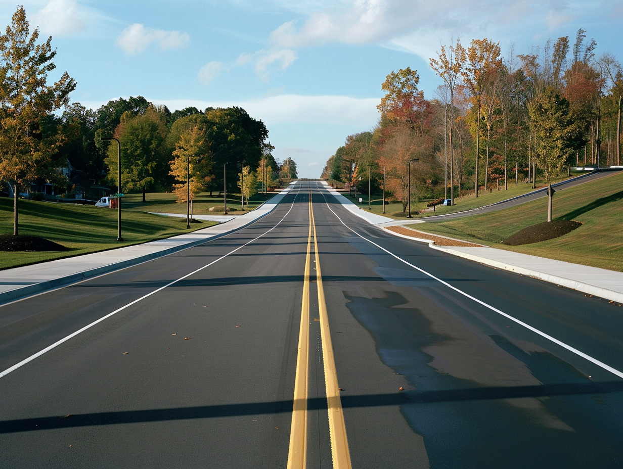
- Collision on a roadway where the roadway characteristics are called into question.
- When the sight distance at an intersection is called into question.
- When traffic control signage type, location, or visibility is called into question.
- When a collision involves roadside obstructions.
- When there is a question whether roadway markings were in good repair and met industry standards.
- When roadway alignment (curves, grades, hill crests) or cross-section (lane and shoulder widths) is alleged to be deficient.
- When a pedestrian or bicyclist was struck and the adequacy of crosswalks, bus stop placement, bike lanes, or other accommodations is questioned.
- When a collision occurs at a commercial driveway or private property access and sight lines, signage, or local ordinances are in dispute.
- When a public agency’s design decisions, speed limit, or safety-improvement history are challenged, or must be defended.
The key questions we can answer
The purpose of our evaluation is to give you a clear, defensible view of what the standards require, what the evidence supports, and what that means for the issues in dispute. Depending on the facts, we can address questions such as:
- Whether sight distance at an intersection is appropriate for the type of intersection and posted speed limit.
- Whether traffic control signage is visible and appropriately placed, including whether signs were obscured by vegetation, structures, or other obstructions.
- Whether roadside obstructions were appropriately placed or shielded.
- Whether roadway alignment, lane and shoulder widths, and cross-section were consistent with the design criteria for the roadway’s functional classification and design speed.
- Whether warning and regulatory signs were placed at the advance distances the MUTCD requires, and whether they were visible from the stopping sight distance a driver needed.
- Whether pavement markings and delineation were present, consistent, and maintained.
- Whether pedestrian, bicycle, and transit-stop accommodations conformed to applicable design guidance and the agency’s adopted policies.
- Whether the crash history at the location showed a pattern that should have prompted the responsible agency to act.
- Which agency or private owner was responsible for the roadway, and what design and maintenance duties followed.
How we approach the evaluation
We keep the work focused on the questions the case needs answered, and explain conclusions in clear, usable language that holds up under challenge.
- Review materials and confirm scope (what you need answered, by when, and what’s available).
- Identify the applicable requirements for the jurisdiction and roadway context.
- Document the site when the question requires it (field measurements, and scaled aerial or 3D scan data obtained through accident reconstruction experts where sight lines and sign placement need to be shown on a scaled base).
- Compare what was in place to what was required (plans, records, photos/video, statements) according to industry and/or agency standards.
- Explain findings clearly, supported by exhibits that can be used in deposition and trial.
What the attorney will receive
- ✓ Initial case review or preliminary opinion (timeframe agreed upon at engagement).
- ✓ Written expert report (scope dependent).
- ✓ Supporting visuals, such as annotated photos, plan mark-ups, sight-distance overlays on aerial imagery, and scaled site diagrams.
- ✓ Support for attorney conference and deposition preparation.
- ✓ Trial testimony, if required.
- ✓ Supplemental or rebuttal reports responding to an opposing expert’s opinions.
- ✓ Sworn declarations or affidavits, where required.
What we need from you to get started
If you have them, the following materials help. If some items are not available, we can advise on alternatives; aerial and historical street-level imagery, agency GIS mapping, and published design standards are resources we obtain ourselves.
- If the matter is in litigation, a copy of the complaint.
- Any crash reports as well as available body and dash cam videos.
- Photographs or videos of the roadway and/or signage conditions as they existed at the time of the collision.
- Deposition transcripts, discovery materials, and any opposing expert report, if available.
- Roadway construction plans, as-built drawings, design reports, or other agency design records obtained in discovery.
- Prior crash history, traffic counts, sign work orders, and maintenance records for the location, if obtained.
- Any survey, laser scan, or drone data already collected by other experts.
Guidance and standards relied on
Depending on the jurisdiction and the issues in dispute, we may reference:
- The Manual on Uniform Traffic Control Devices (MUTCD), including the state supplement or state-adopted version in effect at the time.
- AASHTO’s A Policy on Geometric Design of Highways and Streets (the Green Book).
- AASHTO’s Roadside Design Guide.
- AASHTO’s Guide for the Development of Bicycle Facilities and Guide for Geometric Design of Transit Facilities, for bicycle, pedestrian, and transit-stop questions.
- State DOT design manuals, roadway design standards, and standard drawings, and city or county design standards manuals, street design guides, and codes.
- Federal references where applicable (for example, 23 CFR Parts 625 and 655).
- FHWA guidance and agency safety-improvement procedures, for crash-history and safety-screening questions.
FAQs
General
What do you need first to provide an initial review?
Can you do an evaluation without a site visit?
In some cases, yes. We can use documentation, videos, photographs, and additional resources to conduct an evaluation. Some evaluations, such as those regarding intersection sight distance sufficiency, generally require a site visit.
When a site visit is needed, we document the location with field measurements and, where warranted, coordinate with accident reconstruction experts to obtain drone or 3D scan data on which our sight-distance analysis can be overlaid.
How quickly can you provide a preliminary opinion?
The timeframe will vary depending on case specifics; however, we can generally provide a preliminary opinion within two weeks, and sometimes sooner.
Do you help rebut an opposing expert’s opinions?
Yes. We will review an expert’s opinion, evaluate their methodologies and rebut specific aspects of their opinions, as appropriate.
Can you provide exhibits for deposition and trial?
Yes, we will provide exhibits as appropriate based on available evidence and industry standards as appropriate.
Do you work alongside an accident reconstructionist?
We are often retained on the same cases as accident reconstructionists, however our evaluations are generally unrelated. Accident reconstructionists focus on how a collision occurred and what occurred during the collision, while we focus on determining the sufficiency of the roadway design.
Where scaled site data is needed, we often work with the reconstructionist to obtain it, and our analysis is presented on that base.
Do you work for both plaintiffs and defendants?
Yes. We are retained by plaintiffs and by defendants, including public agencies, design engineers, and property owners. Our evaluation follows the same method regardless of who retains us.
Roadway Design Questions
Who is responsible for the design characteristics of a roadway?
Roadways can be owned, maintained, and fall under the jurisdiction of a town, city, state, or the federal government. In some cases roadways can be privately owned.
Determining who owned and maintained the roadway, and which standards that agency had adopted, is usually an early step in our evaluation, because it defines the design criteria, maintenance duties, and sign-placement requirements that apply. Jurisdiction can even change within a single intersection where a city and county boundary meet.
Can you evaluate a roadway that was designed or built decades ago?
Yes. A roadway is generally evaluated against the standards in effect when it was designed or last reconstructed, together with any later duty to address known safety problems.
We reconstruct the design history from project records, design reports, and plan sheets, and compare the roadway to the criteria that governed at the time.
Do you evaluate pedestrian and bicycle crashes?
Yes. We evaluate whether crosswalks, bus stop locations, bike lanes, and similar accommodations conformed to applicable design guidance and to the agency’s own adopted policies, such as Complete Streets requirements.
Do you evaluate driveways and private property access?
Yes. Sight distance and signage at commercial driveways are evaluated using the same sight-triangle principles that apply to public intersections, together with local sight-visibility ordinances and permit requirements.
Can you use the crash history at a location?
Yes. Where records are available, we calculate crash rates and compare them to statewide or comparable-facility averages and to the agency’s own safety screening criteria, to determine whether a pattern existed that should have prompted action.
Practical details
Jeff Sanchez is a licensed Professional Engineer in Arizona, Colorado, Florida, Illinois, Nevada, New Mexico, North Carolina, Texas, and Washington, and a nationally certified Professional Traffic Operations Engineer (PTOE No. 4732). We can confirm site visit options, the engagement process (including conflict checks), and the billing approach when you inquire.
Next step
Send a short case summary and the key materials you have so far, and we’ll advise the best next step for an initial review.